Phoktey Sandakphhu Round Trek
About
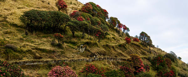
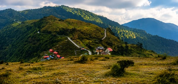
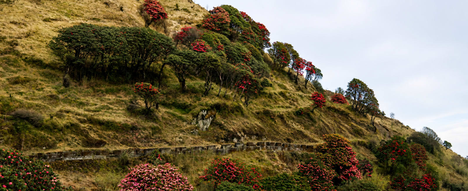
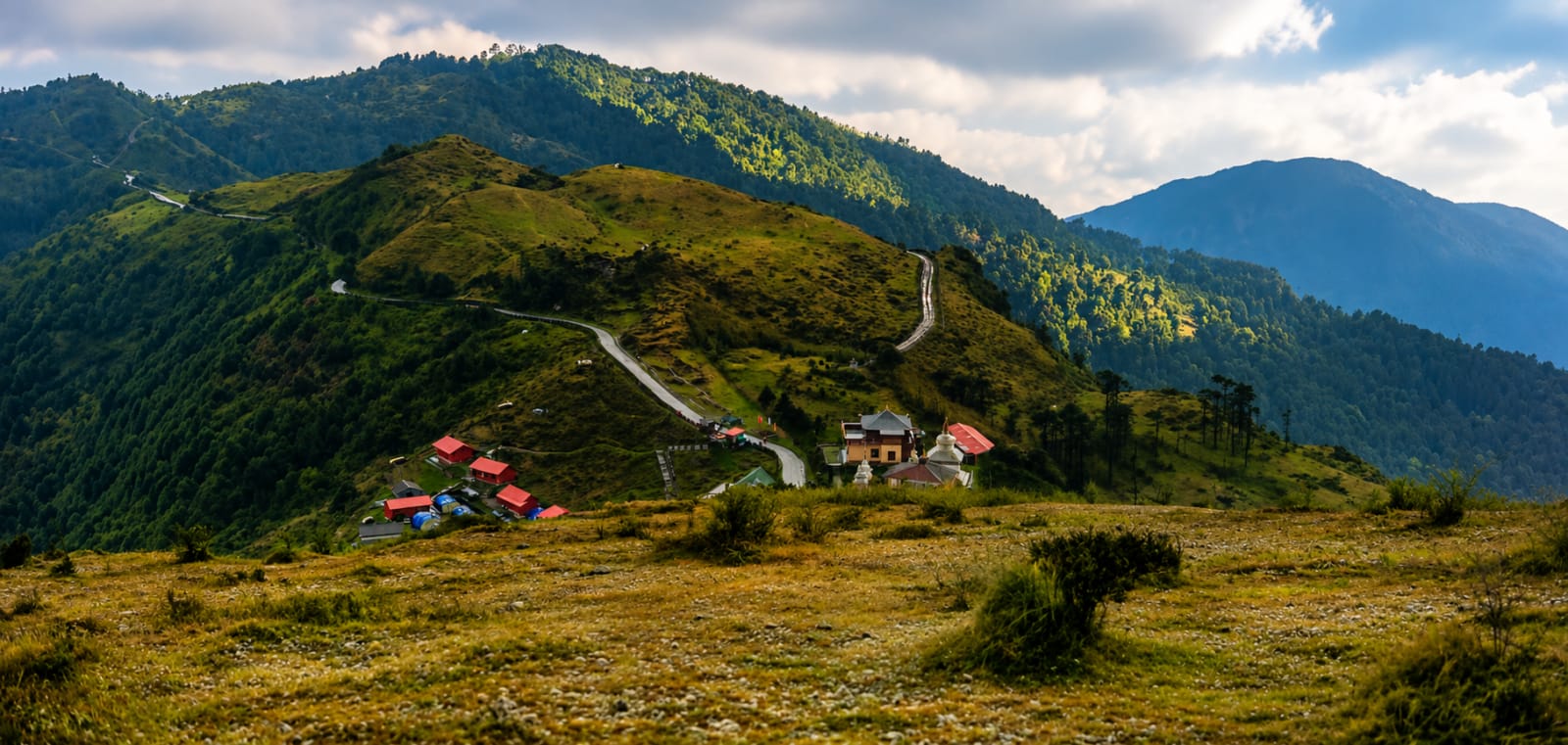
This Singalila Ridge Trek is one of the most iconic Himalayan ridge walks in Eastern India, following the scenic border between India and Nepal through the pristine landscapes of Singalila National Park. The trail leads to Sandakphu (3,636 metres / 11,930 feet), the highest point in West Bengal, offering breathtaking views of some of the world's tallest mountains, vibrant alpine forests, and rich Himalayan wildlife.
What makes it special:
- Trek along the spectacular India-Nepal border with ever-changing landscapes of forests, meadows, and mountain ridges
- Reach Sandakphu, the highest peak in West Bengal, whose name translates to "Height of the Poison Plant," referring to the native poisonous aconite flowers found in the region
- Witness a panoramic Himalayan skyline featuring Everest, Kanchenjunga, Lhotse, and Makalu, with the magnificent Sleeping Buddha formation dominating the eastern horizon
- On clear days, enjoy distant views stretching towards the snow-covered mountains of Bhutan and Tibet (China)
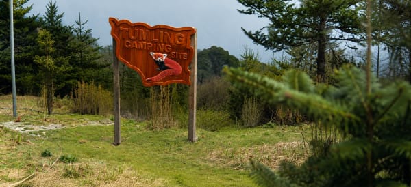
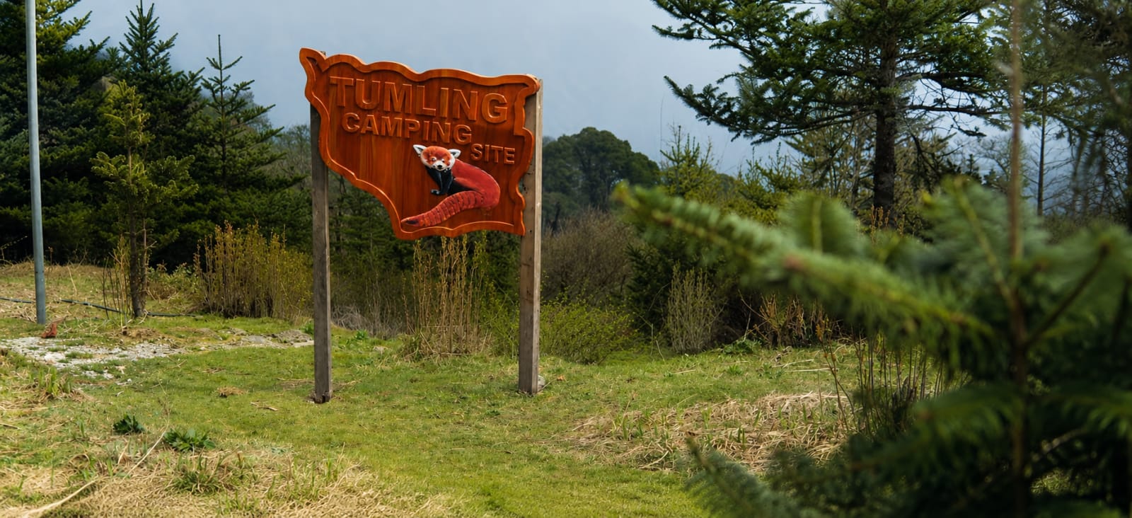
Trek through Singalila National Park, renowned for its rich biodiversity and the chance to spot the elusive Red Panda, along with Himalayan birds and rare alpine flora. A perfect adventure for those looking to experience the beauty of the Darjeeling and Sikkim Himalayas on one of India's most scenic mountain trails
Getting There
The trek begins from Gitang or Uttarey in West Sikkim, both easily accessible from New Jalpaiguri (NJP) Railway Station and Bagdogra Airport, the nearest railhead and airport serving the region.
From NJP or Bagdogra, it's a 7-8 hour drive via Melli Check Post, Jorethang, Soreng, Kaluk, and Dentam to reach Gitang. The following morning, a short 40-minute drive takes you to Uttarey Check Post, where trek permits are verified before the trail begins.
Since the route passes through protected forest areas along the Singalila range, permits are mandatory and are usually arranged by the trek operator. Carry a valid government-issued photo ID for verification.